Original Proprietary Content

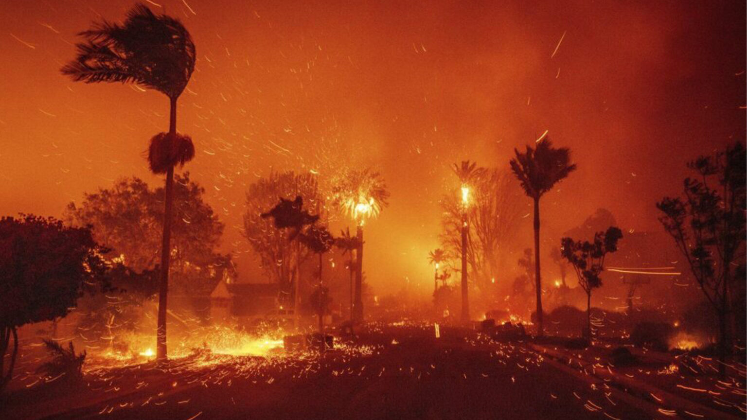
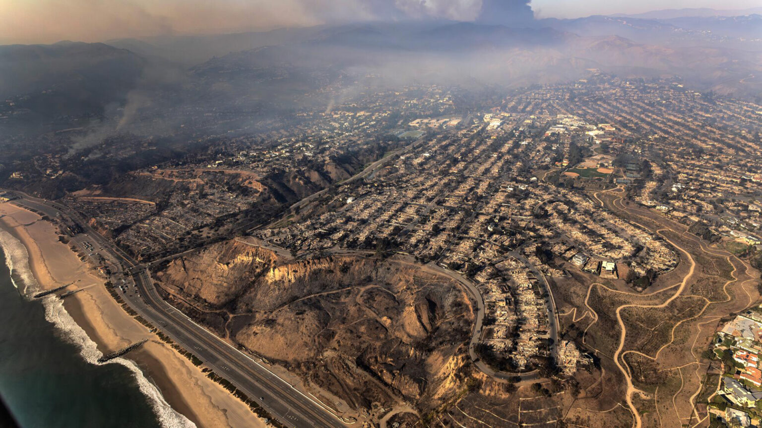
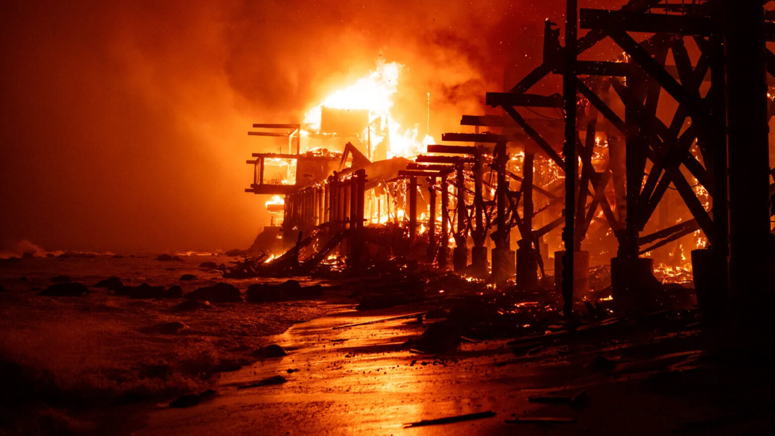
FireRebuild.com and the Fire Rebuild Social Network are being decommissioned due to a lack of community interest and support for California fire victims, specifically those of the 2025 Palisades Fire and the 2018 Woolsey Fire.
For inquiries, please contact contact@firerebuild.com.
What is Fire Rebuild?
Fire Rebuild is a community-driven initiative and informational hub created to support survivors of catastrophic fires in Los Angeles County. The focus is on those who are navigating the long, complex, and often obstructive process of rebuilding after total property loss.
This effort was born out of firsthand experience with bureaucratic failures, costly delays, and a lack of government accountability following both the 2018 Woolsey Fire and the 2025 Palisades Fire. Fire Rebuild was created to expose systemic gaps in oversight, elevate survivor experiences, and offer tools and information that empower individuals to advocate for their right to rebuild.
Fire Rebuild is not affiliated with any government agency and does not represent municipal, state, or federal authorities. It is an independent voice that stands for transparency, justice, and recovery. Rebuilding a home should never require fighting the very institutions meant to provide support.

Palisades, Malibu, and Altadena have a 100% probability
of burning again once rebuilding is complete.

Wind Forecasts

Brush Clearance

Power Lines

Water Supply

First Responders

Leadership Accountability
Leadership has taken no action other than blaming the fire victims.
FireRebuild.com features original content and in-depth research, including investigative reports, data-driven wildfire risk analysis, and first-person accounts that challenge false narratives promoted by officials, developers, and even widely circulated sources such as Wikipedia, with much of this work credited to Michael Kureth. This work is combined with community contributions, creating a living archive of survivor stories and evidence of systemic neglect.
Ultimately, the mission of FireRebuild.com is twofold: to demand accountability from public institutions and to provide solidarity, knowledge, and empowerment for fire victims navigating the long, painful road to rebuilding.


